

On Jan. 24, the popular Utah-based weather blog WasatchWeatherWeenies reported that “pound for pound, the snowiest place in Utah” is Ben Lomond Peak.
The National Water and Climate Center snow telemetry site at Ben Lomond currently measures 133 inches of snow and 40.1 inches of snow water equivalent. At 8,000 feet, the Ben Lomond SNOTEL sits lower than the Alta-Collins or Snowbird sensors which have 102 inches and 95 inches respectively. Furthermore, the Ben Lomond Trail SNOTEL sensor at 5,829 feet has 99 inches of snow.
These snowfall totals have had a widespread effect on Utah communities. Snow, especially a lot of it, can inspire delight or defeat, depending on the person.
Northern Utah winter residents have been clearing snow regularly throughout December and January. Skiers and Snowboarders enjoyed plentiful powder days for the first half of the season. Ski resort employees continue the ongoing efforts to provide guests with “The Greatest Snow on Earth.”
So how much of the fluff has come down compared to past seasons? Snowbasin ski patroller and snow safety lead GR Fletcher has been keeping records of the Snowbasin snowpack for 35 years.
“We’re right around second place this season,” Fletcher said.
Since 1981, only five Decembers and one January received more snowfall than the current season.
1983 saw the December record precipitation of 191 inches of snow, well beyond the December average of 61 inches of snowfall. This January came just three inches shy of January 1996’s 145 inches of snow. The average snowfall for January is 58 inches.
Fletcher’s records give an average yearly snowfall of 293 inches, which will likely be reached in February since the current snow totals are 268 inches for Snowbasin.
For snow water equivalent, Snowbasin records show 24.9 inches so far this winter — nearly reaching the yearly average 25.8 inches of water.
NWCC data from 14 SNOTEL sites show 163 percent of average precipitation for the Weber River Basin so far this season. This is a trend shown across the state, with every river basin reporting well-above average numbers.
Evan Thayler, through his blog, has kept snowfall data and forecasting for Northern Utah. The website earned City Weekly’s Best of 2013 Backcountry Resource of the Year. On Jan. 31, Thayler wrote, “Barring a complete stop in the storm train, we should finish well above average this season.”
With a ridge developing in the west, it looks as if the steady snow the state received in December and January will now continue into February. High pressure and inversion have dominated since last week’s storm.
Thayler forecasts additional storms arriving this weekend and the beginning of next week, as well as a shift toward an “active second half of February.” Thayler attaches the caveat that the latter note is “just speculation.”
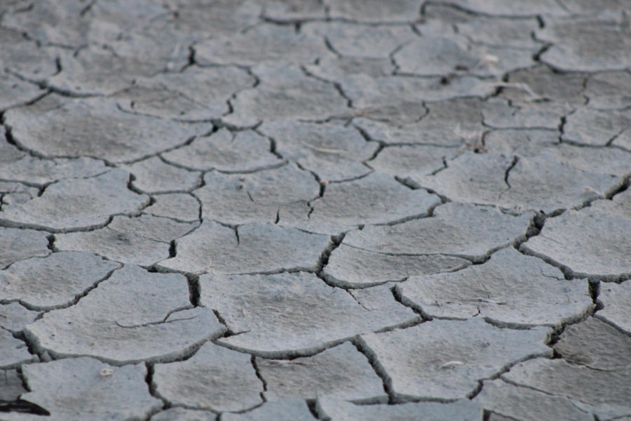
Considering the last five winters were below average, this should be good news for Utahans. Snowpack translates to water, and after several years of drought, it’s high time for higher water.
For more details, snowfall and precipitation totals, visit wcc.nrcs.usda.gov.